Gulf Coast Braces for Wednesday Rain and Cooler Weekend Temperatures
A cold front brings a 60% chance of storms Wednesday before a second front drops weekend highs into the mid-70s.
By Noah Ross ·
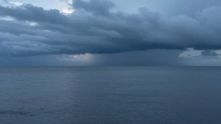
A cold front will push rain and cooler air across the Gulf Coast later this week, ending a warm start to the week and setting up a noticeable temperature drop by the weekend. Meteorologists forecast a 60% chance of showers and thunderstorms on Wednesday as the system moves through the region.
The weather pattern begins with mild conditions. Monday and Tuesday will feature partly sunny skies and highs near 81 degrees. East to southeast winds will pick up during Tuesday afternoon, with gusts reaching 25 mph. While a stray shower is possible Tuesday afternoon, the primary rain risk arrives Tuesday night, when the chance of precipitation climbs to 50% and lows hover near 69 degrees.
Wednesday marks the peak of the wet weather. Showers and thunderstorms become more likely after noon as the cold front passes. Although not every location will experience heavy downpours, residents should expect periods of wet conditions throughout the day. The high temperature will reach near 82 degrees, slightly above the previous two days.
Forecasters indicate the severe weather threat remains low. The atmospheric conditions lack the necessary instability and wind shear to support organized severe storms. The system is expected to weaken as it travels east, making widespread severe weather unlikely.
Drier air will follow the front, improving conditions by Thursday. Sunshine will return, with highs in the upper 70s to near 81 degrees. Overnight lows will drop to the upper 50s Thursday night and the lower 50s Friday night, signaling a shift toward cooler temperatures.
A second reinforcing cold front will arrive over the weekend, bringing an even cooler feel to the region. Saturday will be mostly sunny with a high near 75 degrees, while Sunday will see a high around 74 degrees. Overnight lows will fall into the upper 40s by Saturday night, offering a distinct taste of fall.
Marine conditions will remain unsettled through Tuesday night and Wednesday due to breezy winds and potential storms. Winds will shift to a northerly direction behind the front, improving conditions later in the week. The National Weather Service advises boaters to check the latest marine and surf forecasts before heading out.
Source: WALA-TV