Rain returns to Suncoast by weekend
A shift in weather patterns brings rising precipitation chances to Sarasota and surrounding areas through next week.
By Beatriz Bailey ·
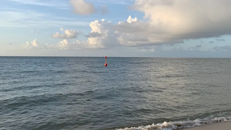
Rain chances are climbing across the Suncoast as a period of dry, warm weather ends. The National Weather Service forecasts a steady increase in precipitation from Thursday through the weekend, with the wettest conditions expected on Sunday.
Thursday will feature mostly sunny skies and highs in the upper 80s. Winds remain breezy with gusts reaching 20 mph. A Small Craft Advisory remains in effect until 8 a.m. tomorrow due to potential choppy conditions in the bays. Isolated showers are possible after 2 p.m., giving the region a 20 percent chance of rain.
Friday mirrors Thursday's pattern with partly cloudy skies and similar temperatures. The probability of rain rises to 30 percent if scattered showers develop in the afternoon. Halloween Saturday brings another warm afternoon with mid-80s temperatures. Trick-or-treaters should prepare for scattered showers and thunderstorms, with a 40 percent chance of rain during the day. That likelihood increases to 50 percent as night falls.
Sunday marks the peak of the forecast with a 60 percent chance of scattered showers and thunderstorms. Highs will dip slightly to the lower and mid-80s. Residents should also set their clocks back one hour in the morning as daylight saving time ends.
Rain chances decrease early next week. Monday carries a 40 percent chance of showers before conditions become mainly clear on Tuesday. Afternoon temperatures will stay in the lower and mid-80s. Hurricane season remains quiet with 33 days remaining.
Source: WWSB